The IMD’s latest flash flood alert covers eight states and two union territories, warning of very heavy rainfall through the coming days.
States under alert include Uttar Pradesh, Madhya Pradesh, West Bengal, Jharkhand, Odisha, Chhattisgarh, Himachal Pradesh and Uttarakhand, along with the union territories of Jammu and Kashmir and Ladakh.
Chhattisgarh faces the most severe warning, with isolated areas forecast to exceed 204.5mm and districts including Gaurela, Pendra, Marwahi, Balrampur and Surguja under an extremely heavy rain alert.
Northern Odisha districts such as Balasore, Mayurbhanj, Keonjhar, Sundargarh and Sambalpur are flagged for flash flood risk, with coastal winds of 40-50 kmph also expected.
The alert period runs through September 2 for most states, with Uttarakhand’s warning extending the longest, through September 8.
The current alert spans a wide geographic band from the Himalayan foothills in the north to Chhattisgarh and Odisha in central and eastern India, reflecting an active monsoon system moving across the country.
In Chhattisgarh, isolated areas are forecast to receive rainfall exceeding 204.5mm, with high-risk districts including Gaurela, Pendra, Marwahi, Balrampur, Surguja and nine others facing extremely heavy rain.
Northeast India could see 115.6mm to 204.4mm of rainfall in isolated pockets, while northern Odisha is forecast to receive widespread heavy rainfall through the alert period.
In northern Odisha, districts including Balasore, Mayurbhanj, Keonjhar, Sundargarh and Sambalpur have been flagged for flash flood risk, alongside strong winds of 40-50 kmph expected in coastal areas.
The IMD said the alert period varies by region, with some warnings running through September 2 and others extending as far as September 7 depending on local conditions.
Uttarakhand is separately forecast to see very heavy rainfall through September 8, one of the longer alert windows among the affected states.
Jammu and Kashmir and Ladakh are both under flash flood warnings, adding to the list of hill and northern regions bracing for the current spell.
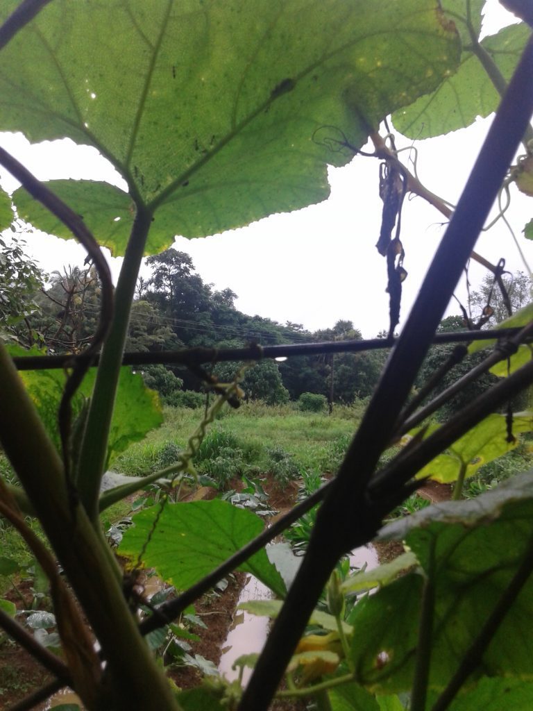
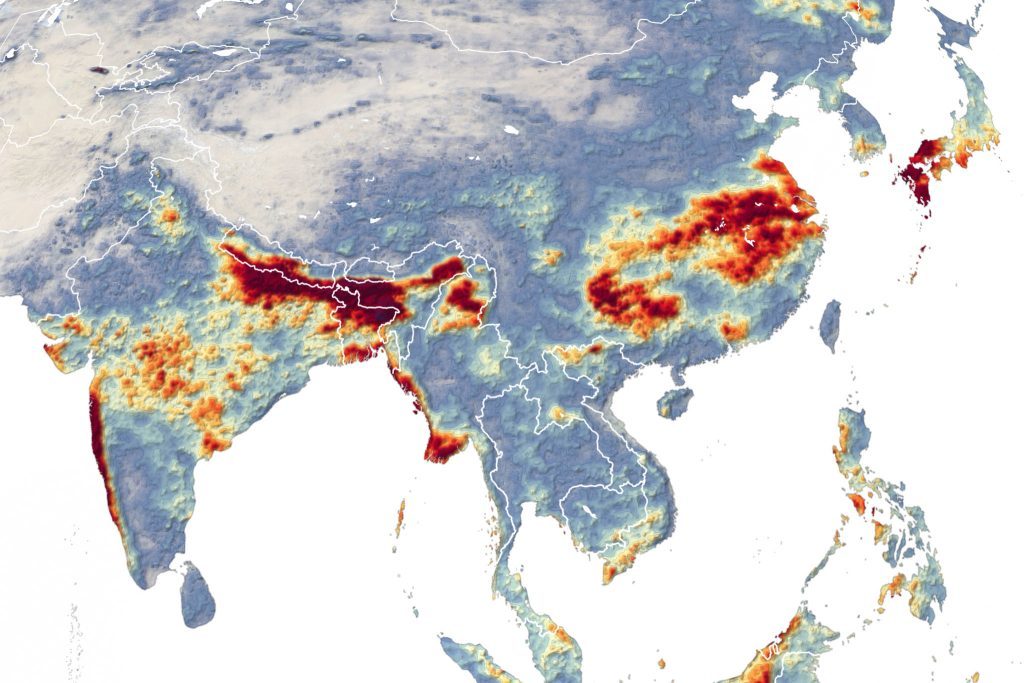
NASA Earth Observatory, Wikimedia Commons, CC BY-SA 2.5 (representative monsoon rainfall image)